
Clay ZIP Code Directory Coverage
Six ZIP labels appear in and around Clay on the county's generalized map. They are postal service areas, not town-boundary lines. The table is therefore a search map, not a claim that every address in a listed ZIP is in Clay. A person tracing a Clay address should preserve the street, postal city, ZIP code, and tax-map number whenever one is available. Those four details keep a parcel match separate from a delivery label.
| ZIP | Areas covered | Post office / city label | Notes |
|---|---|---|---|
| 13027 | Western and northwestern Clay area | Baldwinsville | The county map includes it, but the exact Clay boundary was not located. |
| 13029 | Black Creek Park and northern or northwestern addresses | Brewerton | A Clay facility can carry a Brewerton mailing label. |
| 13041 | Town Hall, 3 Rivers, Clay North, Meltzer | Clay | Common town-office label; the boundary remains approximate. |
| 13088 | Clay South and southern or western addresses | Liverpool | Municipal location and postal city diverge. |
| 13090 | Clay Central, Moyers Corners, central or eastern addresses | Liverpool | Try Liverpool when a Clay name search misses. |
| 13212 | Southern or eastern Clay and North Syracuse service area | North Syracuse | The precise Clay portion was not located. |
The January 2026 Onondaga County ZIP map identifies these labels and warns that its boundaries are approximate and not official USPS boundaries. Use it to decide which terms to try, then validate a delivery address separately.
Clay ZIP Code Postal Names
Clay is a broad town with more than one mailing identity. Official town pages place 3 Rivers Park, Clay North, and Meltzer under Clay 13041, yet list Black Creek Park as Brewerton 13029. Clay South uses Liverpool 13088, while Clay Central and Moyers Corners use Liverpool 13090. The North Syracuse Fire Department example carries 13212. A missing result under one city name is a prompt to search the alternate postal city, not proof the address is wrong.
County property records make the distinction even more important. The RPTS roll separates a situs address, which is the parcel's physical location, from the owner mailing address used for tax notices. A deed relies on the legal description, while USPS deals with a deliverable address. Each field serves a different purpose. Keep them separate in a Clay postal-records search, especially when a street runs toward a town edge.
Note: A ZIP label can cross town lines, so a postal-city match should always be checked against the parcel and municipality.
Validate Clay ZIP Code Mailing Forms
USPS ZIP Lookup supplies the delivery check that the county map cannot provide. It has an address route, a City and State route, and a Cities by ZIP route. The tool can confirm how an address should be written for mail, but it does not confirm that a particular person or organization is at the address. That limit matters when a Clay record uses Liverpool, Brewerton, Baldwinsville, or North Syracuse.
| USPS lookup mode | Fields documented | Useful Clay result |
|---|---|---|
| Find by Address | Street Address, City, State, optional Company, Apt/Suite/Other, ZIP Code | Tests the full mailing form for a known Clay street. |
| Find by City & State | City and State | Checks the ZIP choices attached to a postal city. |
| Find Cities by ZIP | ZIP Code | Shows the postal-city terms worth trying in a records search. |
Save the normalized mailing form alongside the date checked. USPS warns that results may need narrowing. A parcel search can then use the physical street and number rather than assuming that the delivery city identifies the government jurisdiction.
Find Clay Residents Within a ZIP Code
A ZIP can narrow a Clay search, but it does not produce a public resident roll. The state voter form accepts a ZIP field as a narrowing detail when searching one known person, and the county property tools work from address, owner, mailing address, or tax-map number. The research did not locate a public ZIP-wide export from Beacon, Image Mate, GIS, or the voter form. Treat the ZIP as a filter to combine with a name or street.
- Use USPS to check the address and note its postal city and ZIP.
- Search Image Mate by property address or mailing address, then record the parcel number.
- Use the parcel number in the annual tax map or the county GIS viewer to confirm the physical parcel.
- For one known voter, use the New York voter lookup with county, name, date of birth, and the ZIP detail shown on the form.
- Keep the source date and do not treat an owner, voter match, or postal label as the same kind of evidence.
Once the ZIP has narrowed the area, the Clay street directory has the address-by-address parcel workflow. That is the better route for a named road or a string of parcels.
Clay Postal Search Limits
The older official property gateway documents tax-map number, owner name, property address, and mailing address modes. It does not document a ZIP-wide result mode. Beacon's exact ZIP filters were not captured, and county GIS is organized around parcels and map geometry rather than a resident list. The state voter lookup includes a ZIP field, yet it is a current individual registration tool, not a block or ZIP browser.
New York Election Law §3-220 makes registration records public under Board supervision while withholding protected identification information. The Board's full-file request route also requires an elections purpose. Protected voters may use a substitute address or have no ordinary address displayed. A Clay postal-records search should never try to reconstruct a protected location from parcel, court, or business clues.
Clay ZIP Codes Against Town Limits
The county's January 2026 map is helpful for geographic context, but its own warning controls: the boundaries are generalized, use local-source information, and are not official USPS boundaries. Some ZIP areas extend beyond Onondaga County. Clay's postal variations are therefore normal, not an automatic sign that a tax roll or directory made an error. For an old record, test the street name, number, postal city, and town name in turn.
- ZIP code
- A postal delivery area that can cross a town or county line.
- ZIP+4
- An added four-digit delivery detail used to narrow mail sorting, not a municipal boundary.
- PO-box ZIP
- A ZIP used for post-office boxes; no Clay-specific example was located in the research.
- Unique ZIP
- A ZIP assigned to one organization or place; no Clay-specific unique ZIP was located.
- Carrier route
- A mail-delivery grouping that helps sort mail but does not identify a legal parcel.
For an older address, the durable bridge is the parcel's legal description and tax-map number. Directory pages may file a Clay household under a postal city, while the deed uses neither city name as its primary identifier.
Clay ZIP Code Directory Park Clues
Town facilities offer a practical way to see Clay's postal geography in use. The Town of Clay parks page lists facilities under Clay, Brewerton, and Liverpool mailing labels. This is a useful cross-check when a historical notice names a park, a nearby road, or a service area without using the town name. It does not turn a park address into a resident record.
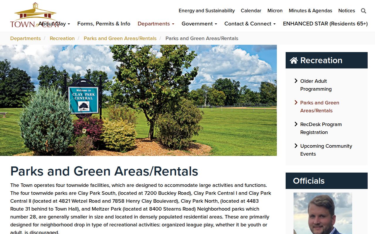
The town's own facility listings show why a Clay postal search should include the postal-city variant. Pair that clue with USPS validation and a county parcel source before treating the result as a town address.
Note: No official Clay ZIP-by-ZIP population or registration total was located, so the six labels are geography tools rather than population counts.
Clay Postal Records Access Channels
Online checking is only the first Clay postal-records channel. USPS validates the delivery form. RPTS links the property search, GIS viewer, and tax maps. The Town of Clay assessor is the local route for assessment inventory and grievance questions, while the RPTS office handles county tax infrastructure, bills, receipts, and map questions. Their roles are related but not interchangeable. Keep the postal label in the search note, then ask the custodian that actually keeps the record.
For a parcel that needs a title check, use the County Clerk's Cott guest index and then contact the clerk for image, copy, terminal, or older-book questions. The clerk's public counter is at 401 Montgomery Street in Syracuse, and the research lists weekday counter hours of 8:30 to 4:00. If the source is a historical Clay address, OCPL Local History & Genealogy provides the directory, telephone-book, newspaper, census, and cemetery-card route. Its collection can supply a postal-city term that a current parcel search would not reveal.
The state voter form is limited to an individual registration lookup, while an election-file request has its own Board of Elections and elections-purpose rules. A missing ZIP result can come from a postal-city mismatch, a search-field limit, a protected record, or a coverage gap. Record which channel was tried and what it can actually establish before moving to the next one. That record also makes a later ZIP code directory search repeatable when postal labels differ across the same Clay street.