
Clay Neighbors Through Block Sources
Each public source answers a narrower block question. The GIS viewer helps determine which parcels touch. The tax map provides the legal parcel layout. The assessment roll supplies owner, situs, and mailing fields, while the deed index follows transfers for one parcel. Historic directory pages can place an occupant at a street number for a past year. None of those sources is a complete account of every person living on a block, and an owner's mailing label should not be converted into a claim about residence.
| Source | What it shows about a Clay block | Access |
|---|---|---|
| Onondaga GIS viewer | Parcel boundaries, adjacent polygons, measurements, visible layers, PDF export | Public county viewer |
| RPTS tax map | Legal parcel adjacency and tax-map context | Online, in office, or purchase route |
| Beacon or Image Mate roll | Situs, owner, tax-mailing address, value, and related property details | Official county gateway; live access can vary |
| County Clerk / Cott | Transfer parties, recording dates, and legal description for one parcel | Guest index; image access may be paid or restricted |
| NY voter lookup | One known person's election information | Individual name, county, date-of-birth search |
| OCPL directories | Historic street occupants where a directory has the entry | Print, microfilm, and digital holdings |
Begin with the parcel relationship. Only after a polygon is proved to touch the target should its own assessment or deed record be read. A shared street name, ZIP, or fire district does not establish that two parcels are adjacent.
Map Clay Parcels in County GIS
Onondaga County GIS describes a viewer with owner and address searching, geometry tools, find-address, distance and area measurement, map layers, and PDF export. The research did not locate a public radius or buffer-neighbor control, so the reliable Clay method is a manual adjacent-parcel check. Zoom until the parcel lines appear, because some layers are only visible at a particular scale.
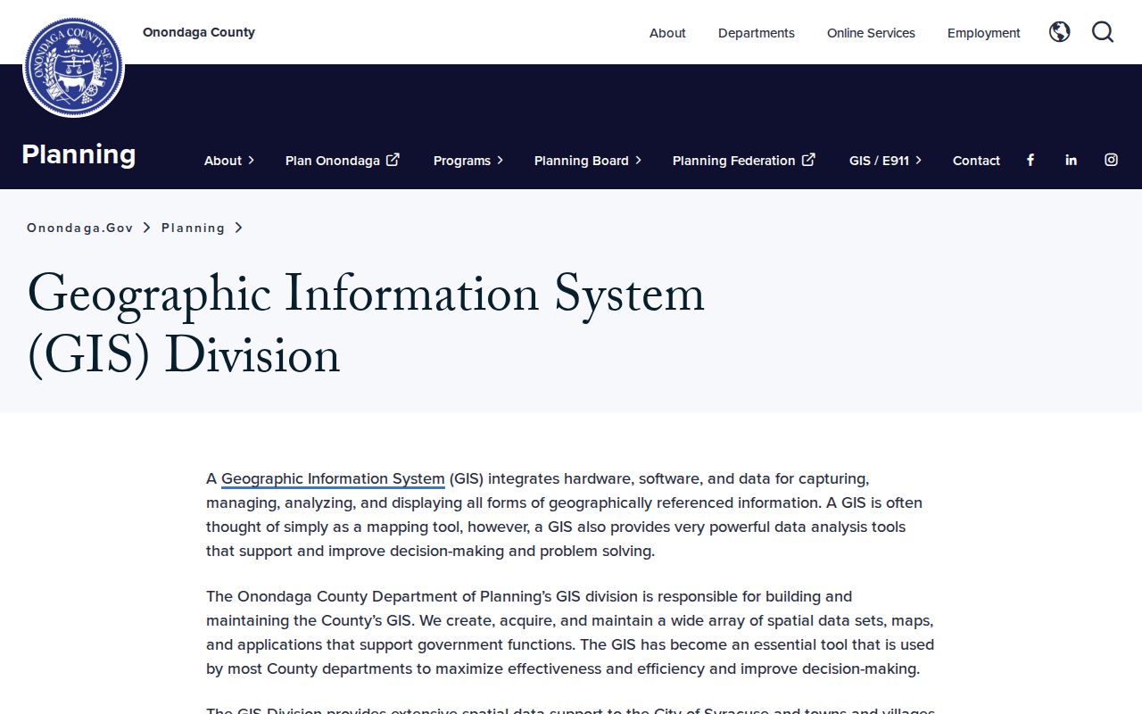
The county GIS program provides the mapping route, but the assessment source remains the authority for property data. Save an exported map with its date and each tax-map number rather than relying on a moving basemap image.
- Find the target Clay address and identify its parcel or tax-map number.
- Zoom to the parcel boundary, then click or pan to every polygon that actually touches it.
- Record the map date, parcel number, street-facing address, and whether a road, water, or common area separates the parcels.
- Check each neighboring parcel independently in the assessment roll, then use Cott only when a transfer history is needed.
- Use the Clay street directory when the question expands from an immediate block to a full named street.
Clay Block Tax Map Lines
Tax maps are the best second check when parcel lines are unclear in the viewer. RPTS says its maps are updated annually in March and can be viewed online, used in the office, or purchased. Its instructions are search the address, find the tax-map number, then use the individual map. Full-size maps, lap maps, and zoomed copies have listed purchase routes, but a map price is not needed just to establish the research workflow.
RPTS tax maps should be read with the same care as the GIS layer. Mark corner parcels, public roads, water, and common-area parcels separately. A nearby number or a parcel on the same tax-map page may not share a boundary with the target. The legal description in a deed is the next check when a subdivision, merger, or lot split complicates the map.
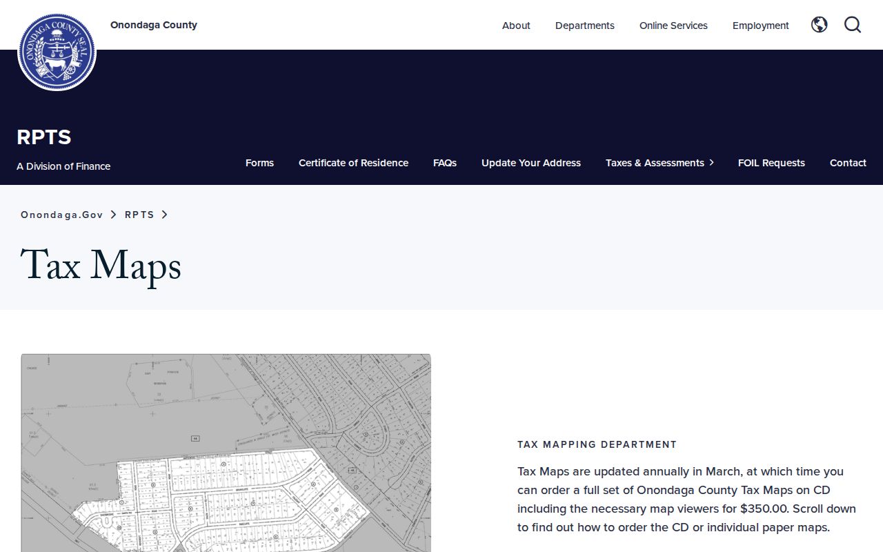
The annual-map context is why a Clay block note should state the map date. Parcel geography can change through subdivision or merger, even when the street name remains the same.
Clay Block Parcels Come First
The property roll has several useful fields, but they describe different things. Image Mate's documented search modes are tax-map number, owner name as it appears on the deed, physical property address, and mailing address. A situs field identifies the parcel. The mailing field is where tax notices go. The owner field can be an individual, trust, estate, or entity. None of those fields proves who is currently present at the address.
The Town of Clay assessor page explains the public-roll calendar and assessment role. The town's public roll includes ownership, addresses, values, exemptions, property inventory, and special-district charges. RPTS cautions that owner and property information can change during the year and is not guaranteed accurate, current, or complete. For a critical match, confirm the record date and contact the assessor or county clerk.
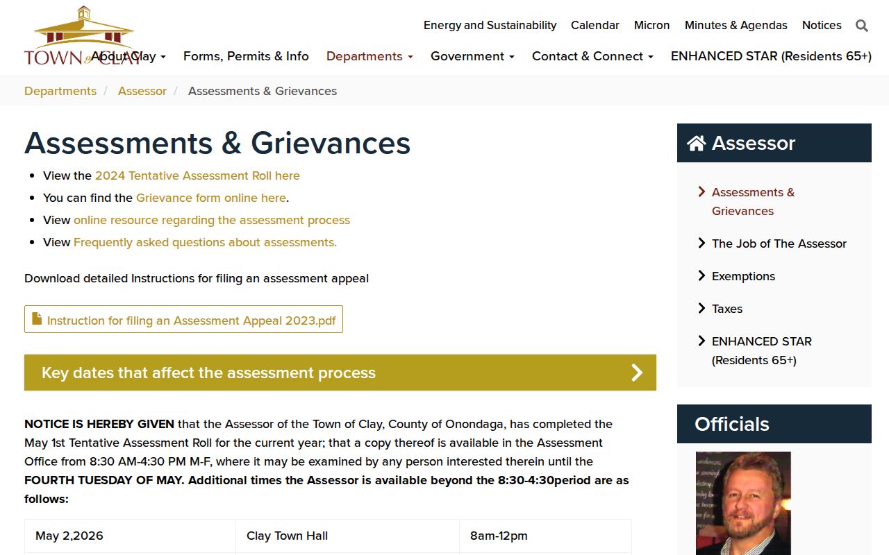
The assessor calendar helps explain why a source date matters. The tentative roll, grievance period, and final roll are separate stages, and an older roll can preserve an earlier ownership snapshot.
- Parcel
- A mapped unit of land identified by a tax-map number.
- Situs
- The physical address or location of that parcel.
- Mailing address
- The address used for tax correspondence; it may be elsewhere.
- Legal description
- The deed language that identifies the land apart from its street number.
Clay Neighbors and Individual Voter Records
The New York voter registration lookup is not a public block roster. Its documented fields include county, last name, first name, date of birth, ZIP code, and address information. It is designed to confirm election information for one known registered voter. The result may provide registration, polling-place, and mail-ballot information, but the research did not find a public ZIP-wide or street-wide export through that form.
New York Election Law §3-220 makes registration records public under Board supervision, while excluding driver-license number, non-driver identification number, Social Security number, and facsimile number. A broader Board file request has an elections-purpose requirement. Protected voters can have a substitute address or no ordinary address shown. Do not use parcel, court, or other data to try to reverse a protected address.
Note: A voter match confirms a point in election administration, not ownership, continuous occupancy, or every person at a parcel.
Clay Neighbors and Community Geography
Clay's community layer is geographic, not a membership directory. Official town sources identify 28 neighborhood parks, four townwide facilities, and five volunteer fire departments serving Clay areas. Those places can help explain why a parcel is associated with a service-area name or a different postal city. They do not identify the households using the park or served by the department.
The research found no official consolidated directory of neighborhood associations, homeowner groups, civic councils, congregations, or block-watch members for Clay. A published public contact may be requested from the town or library, but a request should not seek private membership names. For historical context, OCPL directories, newspaper notices, OHA clipping files, and town historian records are the stated follow-up paths.
| Clay community source | Public information available | Use on a block search |
|---|---|---|
| Town parks and facilities | Official facility names, addresses, postal labels, and local geography | Orient a street or postal-city clue, not a household. |
| Volunteer fire departments | Five fire-service areas and public department information | Understand service geography, not membership. |
| Neighborhood associations and HOAs | No official consolidated Clay directory or roster located | Request only a published public contact from the town or library. |
| OCPL and OHA historical material | Directories, newspapers, clipping files, and local-history references | Reconstruct a past block without treating it as a current roster. |
Clay addresses can use Clay, Liverpool, Brewerton, or North Syracuse postal labels. That postal geography is useful for finding a facility or street, but it should never be used as a shortcut to infer a person's location.
Clay Neighbors: Official Records Compared
Commercial address-aggregation products can suggest prior occupants or nearby parcels, but they may merge same-name records, convert a tax-mailing address into a residence claim, and omit source dates. A Clay neighbor search is stronger when it keeps the map, roll, deed, and directory roles separate. The comparison is about provenance, not about building a list of private household details.
| Record path | Best use | Critical limit |
|---|---|---|
| GIS and tax map | Establish parcel adjacency | Map geometry does not identify occupants. |
| Assessment roll | Read parcel, owner, situs, and mailing fields | An owner or mailing match is not proof of current presence. |
| Deed index | Trace a transfer and legal description | A transfer is not a household roster. |
| Historic directory | Place an occupant at a past address | Publication timing and coverage vary by year. |
For a disputed boundary, save the GIS PDF, tax-map page, record date, and parcel number. That small audit trail is more reliable than a bare street-name match.
Privacy Limits for Clay Neighbors
Public block records do not expose every resident detail. The research did not locate public Clay utility-customer lists, delivery data, or a comprehensive private-association roster. New York's Address Confidentiality Program under Executive Law §108 gives qualifying participants a substitute mailing address, and protected-voter rules separately shield an actual residence. DMV information is also restricted under federal and New York rules.
New York Penal Law §120.60 and §240.30 set boundaries for stalking and aggravated harassment. A public record is not permission to repeatedly contact, intimidate, or target a person. Keep block research focused on parcel geography, family history, civic context, or a legitimate personal question, and direct correction requests to the original custodian.
Clay Neighbors Access Channels
Use the public viewer and RPTS map first, then change channels for the record needed. The Town assessor can address roll questions, RPTS can address tax-map and tax-infrastructure questions, and the County Clerk keeps the transfer record behind a parcel. For historical occupants, OCPL supplies directory and newspaper access. A Town Clerk or Code Enforcement request can seek an identified permit or town record when no online address result exists. Each request should give the target address, parcel number when known, date range, and desired record type.
A record not visible online is not the same as a custodian finding no record. Keep that distinction in every Clay block note, along with the map date and source checked.