
Tracing Clay Streets by Address
A Clay street directory search works from the parcel outward. First identify the physical or situs address in the county property roll. Then save its tax-map number, map date, owner spelling, mailing address, and assessment year. The parcel number is more stable than a street text search. It connects the address to a tax map and carries the legal description needed for the deed index. A property owner can be different from the person receiving mail or living at the location, so label each field precisely.
Next, use the GIS viewer to make sure the map result is the intended parcel. Click the target polygon, inspect adjoining polygons, and export a dated PDF if the map view matters. Run a known person through the state voter service only as an individual election check, never as a street roster. Finally, compare a directory street page or newspaper citation when the question is historical. The record dates should remain visible because a deed, tax roll, directory, and voter record change on different schedules.
- Search the property address and record the parcel or tax-map number.
- Open the same location in county GIS, zoom to visible parcel lines, and save the map date.
- Use the legal description and owner spelling to find the recorded acquisition in Cott eSearch.
- Read grantor, grantee, instrument, recording date, and legal description before extending a title chain.
- Use the voter lookup only for a known individual, then check an annual directory for a past address or occupant.
Note: A same-number address is not enough when a parcel was split, merged, or assigned a different postal city.
Clay Street Directory Property Fields
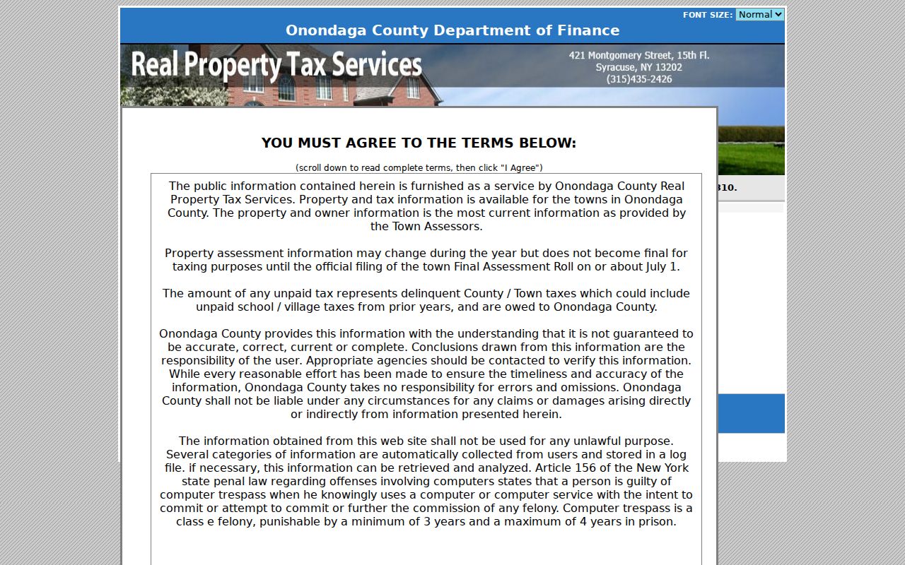
Onondaga County’s older official Image Mate gateway identifies the four useful starting modes: Tax Map Number, Owner Name, Property Address, and Mailing Address. Property Address means the physical location, while Mailing Address identifies where tax correspondence is sent. Owner Name is keyed to the spelling used on the property deed. That difference matters when a family name includes initials, a trust name, or an older spelling.
| Clay field or tool | Type | Required status | Clay street-directory use |
|---|---|---|---|
| Clay Tax Map Number | Text entry for Clay parcel records | Required status for Clay search not located | Links the Clay parcel to maps and deeds |
| Clay Owner Name | Text entry for Clay deed names | Required status for Clay search not located | Searches Clay deed-style owner text |
| Clay Property Address | Text entry for Clay location | Required status for Clay search not located | Finds the Clay physical situs address |
| Clay Mailing Address | Text entry for Clay tax mail | Required status for Clay search not located | Finds the Clay tax-notice destination |
The official older county property search documents these address and owner modes.
Beacon adds property information, prior sales, dimensions, and assessment values, although exact live result labels and filters were not captured. Record only fields actually returned for the parcel. An exemption can be a useful context clue, but it does not establish that a named person currently lives there.
Clay Street GIS Parcel Browsing
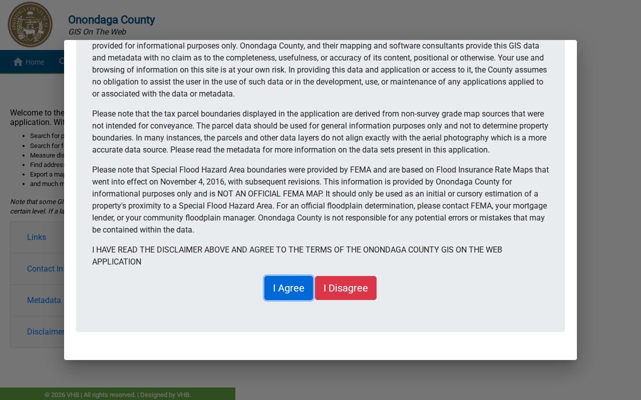
The Onondaga County GIS viewer lets a Clay street directory search move from text to a map. Its documented controls include owner and address searching, a find-address tool, map or geometry search, distance and area measurement, visible layers, and PDF export. Layer visibility can depend on zoom. A parcel map is a geographic check, while the assessment roll remains the authority for assessment information.
The Onondaga County GIS viewer is the official route for the search, map, measure, and export workflow.
For a road segment, click each parcel rather than copying an owner name across neighboring lots. Mark corner parcels, roads, water, common areas, and empty tracts separately. When a line is unclear, open the annual tax map and compare its map number. A same-street parcel may not touch the target parcel, and a nearby parcel may use a different street-facing address.
- Parcel
- A mapped unit of land identified by a tax-map number.
- Situs address
- The property’s physical location, which can differ from its tax mailing address.
- Plat or tax map
- A map record that shows parcel boundaries and their legal map context.
- Criss-cross directory
- An address-arranged directory feature, when a historic volume includes one.
Note: Keep the Clay map date with the parcel number because visible layers and assessment information can change separately.
Clay Street Directory Record Sets
Address-keyed records show different parts of the same Clay street. The property roll supplies parcel facts, GIS supplies map context, and Cott supplies title parties and recording events. Town permit and inspection files can date physical work, but no public online permit-result index was located. The voter lookup is a narrow person search, not a street browser. Library volumes provide the historical occupant layer when the address is old enough to appear in a directory.
| Clay address record | Clay keeper | What it can show | Clay access channel |
|---|---|---|---|
| Clay situs and property roll | Clay assessor; Clay RPTS | Clay owner, situs, mailing address, values, exemptions | Clay Beacon, Image Mate, counter, or phone |
| Clay tax map | Clay county RPTS | Clay parcel number and boundaries | Clay online service, office, or purchase |
| Clay GIS parcel view | Clay county GIS | Clay parcel geometry, visible layers, measurement | Clay public viewer and PDF export |
| Clay deed or mortgage | Clay County Clerk / Cott | Clay parties, dates, legal description | Clay guest index, paid images, counter |
| Clay permit or inspection | Clay Planning / Code Enforcement | Clay work type and inspection trail | Clay counter, office contact, or FOIL |
| Clay historic directory | Clay OCPL Local History & Genealogy | Clay address and occupant clues by year | Clay library print, microfilm, scans, librarian |
Keep a worksheet with street spelling, number, ZIP and postal city, tax-map number, map date, owner spelling, roll year, deed instrument, directory year and page. That record of method distinguishes an online gap from a custodian’s confirmed “no record” answer.
Clay Street Deed Chains
Once the parcel number and legal description are known, the County Clerk’s Cott index can extend the Clay street directory trail backward. Open Cott’s guest option for free index viewing, find the current owner’s acquisition as grantee, and capture the seller, document date, instrument or book-and-page reference, and legal description. Search that seller as grantee to find the preceding acquisition. Repeat only when the legal description continues to identify the same parcel.
Cott’s Onondaga guest sign-in is the official entry to the Clerk’s index; document images and printing require the access level shown by the Clerk.
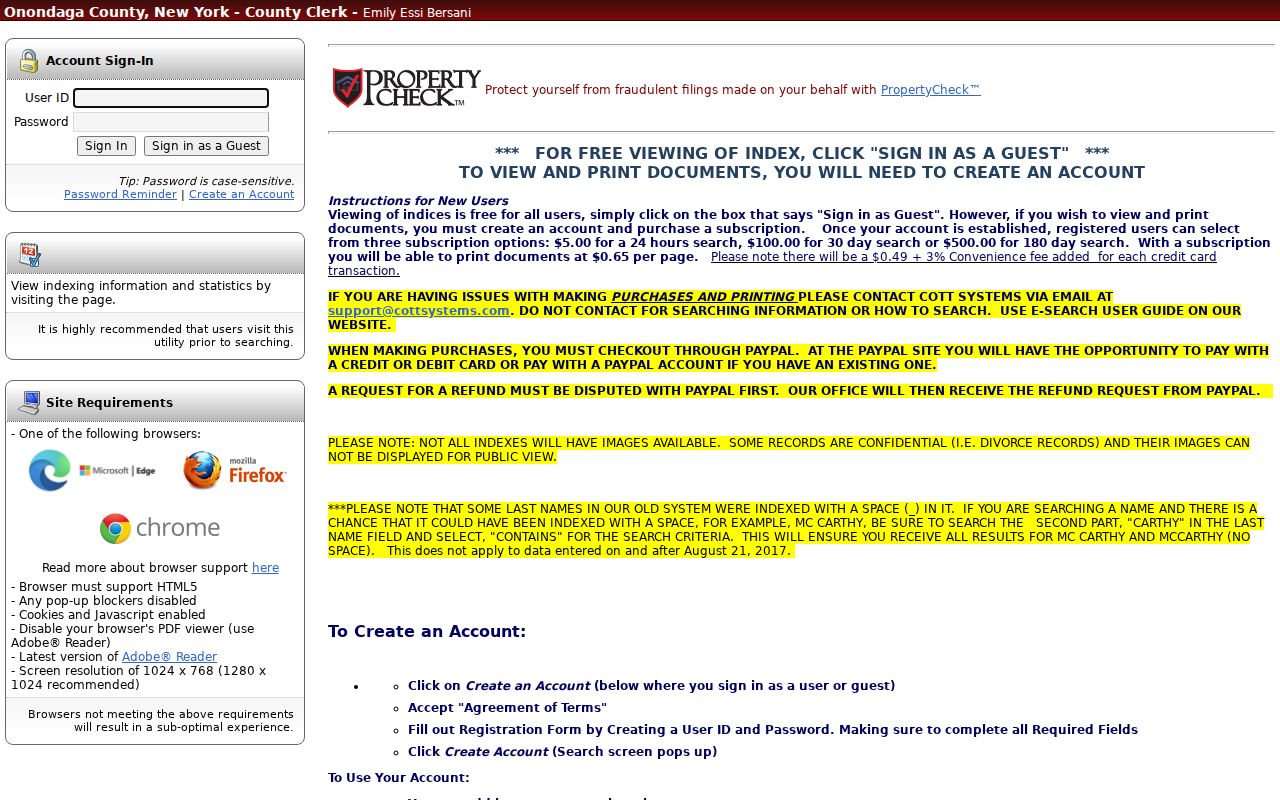
County land records begin in 1794, but the official sources do not identify one online image cutoff. The Clerk lists subscriptions of $5 for 24 hours, $100 for 30 days, and $500 for 180 days, plus $0.65 per printed page. If an older record does not appear online, ask about books, microfilm, public terminals, or archival retrieval. For pre-August 21, 2017 surnames beginning MC, search the portion after MC with Contains and try a space or underscore variant.
Clay Street Permit and Code Files
Permit and inspection materials give an address a physical timeline. Clay forms cover new buildings, additions, alterations, mobile homes, garages, barns, pools, sheds, decks, fences, signs, fireplaces, and demolition. Inspection stages can include footing, foundation, framing, HVAC, insulation, fire protection, final review, and a Certificate of Occupancy. These records can establish work at a parcel without identifying every person associated with it.
No official public address-search database or online permit-result index was located. Direct a narrow request to Planning and Development or Code Enforcement with the street address, parcel number, years, and the specific records sought. Applications are accepted through Planning and Development, and inspections require at least 24 hours’ notice. The Town’s zoning process is complaint-driven and can involve Town Justice Court, but no public online case table was found.
Clay Code Enforcement identifies the office responsible for building, inspection, zoning, and safety work. A FOIL request should seek an existing file or log rather than a new summary.
Note: A permit names a project or applicant at a recorded time, not a complete list of people at an address.
Clay Street Postal-City Variants
Clay’s street records often need more than the town name. Official town facilities use Clay 13041, Brewerton 13029, Liverpool 13088 and 13090, and North Syracuse 13212. The county’s generalized January 2026 ZIP map also includes 13027 around Clay. A postal city is a delivery label, not a municipal boundary. Search a road with its number, ZIP, and every likely delivery city when a property or historic-directory search returns nothing.
For example, Town Hall and several parks use Clay 13041, Black Creek Park uses Brewerton 13029, and Clay South and Clay Central use Liverpool labels. That does not mean those facilities have left the Town of Clay. The same distinction applies when comparing a tax-roll situs, a tax-mailing address, a deed legal description, and a USPS deliverable address. Store each form rather than overwriting one with another.
The county ZIP map is approximate and is not an official USPS boundary product. Use USPS address validation for mail syntax, while relying on the tax map and legal description for the Clay parcel identity. No official Clay street-renumbering list was located, so an older road search should also try adjacent parcels, historic place names, and the legal description.
Clay Street Directory History Clues
Historical directories are useful after the parcel and road are pinned down. OCPL Local History & Genealogy holds Syracuse and suburban directories in print from 1936 to the present, earlier city directories on microfilm from 1862 to 1935, and some 1844-1862 microfiche. It also has telephone directories from 1894 onward and newspapers from 1850 to near the present. Search the street page by house number, then confirm a name index result against that printed address.
A reverse or criss-cross Clay run with exact years was not located in official library descriptions. If a volume has no address index, inspect the street-name pages. Pair directory evidence with a roll year, deed date, census, or obituary rather than treating it as a current answer. The Clay city directory page retains the library collection details and household tracing sequence.
Euclid, Gifford Store, Morgan Road, Pine Plains, and Hamlin Marsh can be useful historic search terms. Clay’s broad rural-to-suburban growth and separation from Cicero in 1827 mean an old record may use a place name that differs from the current postal city.
Note: A Clay street-page result should retain its directory year and page, not just a transcription of a name.
Clay Street Directory Privacy Lines
A street record cannot reveal every person connected to an address. The public sources reviewed do not provide utility-customer lists, DMV address data, or a complete list of people in each household. A parcel may be a merged lot, common area, vacant tract, or contain more than one unit. A property owner’s mailing address can be in another city or state. Present the public result as a parcel, deed, or dated directory fact, not a claim that every named person currently lives there.
New York voter information is separately limited to individual lookup and an elections-purpose file route. Address Confidentiality Program participants and protected voters may have substitute addresses. The Driver’s Privacy Protection Act restricts DMV personal information. When a result conflicts, preserve the source and date, then request correction from the original custodian instead of publishing an unverified match.
Clay Street Records in Numbers
The County Clerk’s 2024 annual report shows the volume behind an address-by-address title search: 11,241 deeds, 10,791 mortgages, more than 11,000 satisfactions, 10,284 index numbers, and 7,254 judgments processed during 2024. The office also reported 275,003 land-record pages entered into a digital database. These figures show continued indexing work, not a promise that every historic document image can be opened from a Clay street directory search.
The County Clerk’s annual report supplies the reported processing and digitization totals.
Use that growing online index as one access channel, then keep the instrument number and legal description for a Clerk counter or terminal request. The best street-by-street result is a trail of dated records, with the map, roll, deed, permit, and directory each described for what it can actually establish.